You asked for it and we listened. The number one suggestion we get is to add more detail to our Custom Territory Maps. We now have a USA seamless digital database.
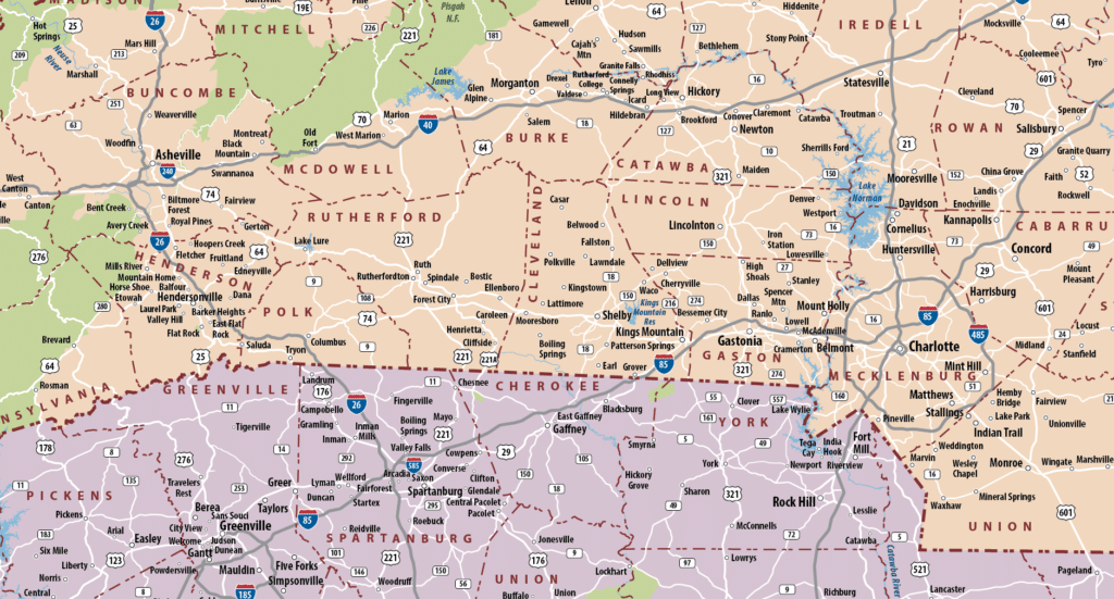
REGIONAL NORTH CAROLINA, SOUTH CAROLINA, AND GEORGIA MAP
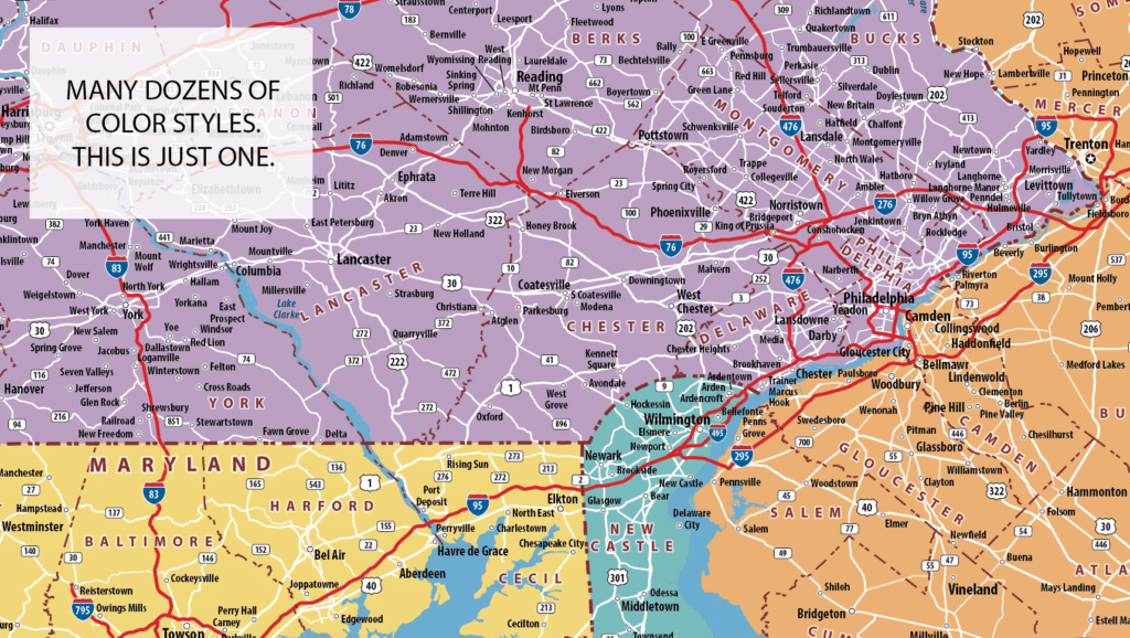
Our head cartographer went to work on the solution. We’ve reinvented territory maps at a scale suitable for a state or multiple states. The base map includes all cities and US Census Designated Place Names. We’ve also added more park, water, and highway symbols.
Legibility was the driving Creative Force! We make sure that the text is a suitable font size for the scale. You shouldn’t need to use a ladder and a magnifying glass to view a wall map.
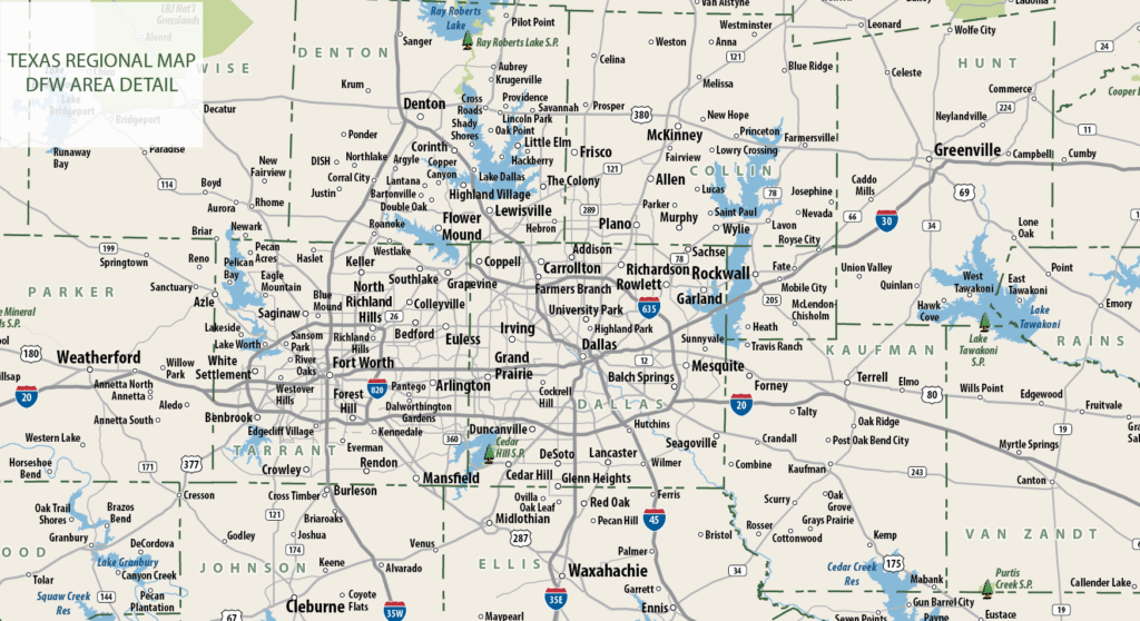
DETAIL EXAMPLE
TEXAS REGIONAL DETAIL EXAMPLE
All-new Insets were created for the needs of the Regional Map Series. Insets are useful for the dense cities and they include the populated places and neighborhoods.
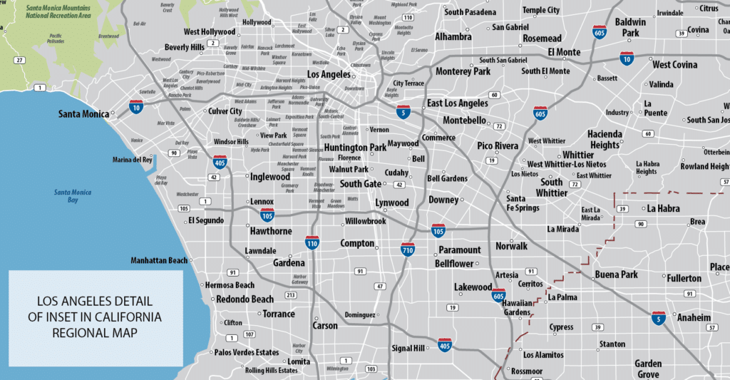
California is a good example of a large state with clustered cities. If you have space for a 5’x5′ Map of California, this is the perfect scale.
LOS ANGELES INSET
As always, you determine the exact coverage area. We custom print so it can be whatever size you need. We have a variety of color palettes as standared options and we can customize the colors just for you to fit your brand or office decor.