Terrain-Satellite
FULLY CUSTOM FROM $165
(DEPENDS ON COVERAGE & DETAIL)
(DEPENDS ON COVERAGE & DETAIL)
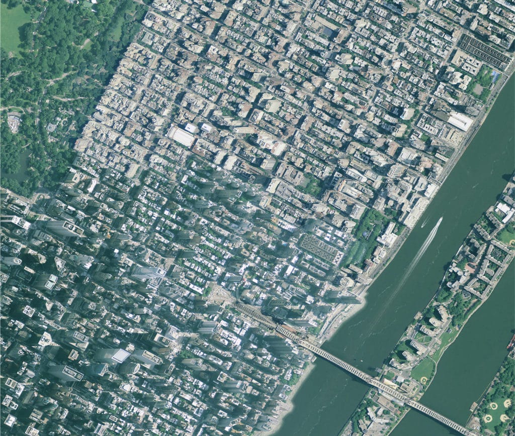
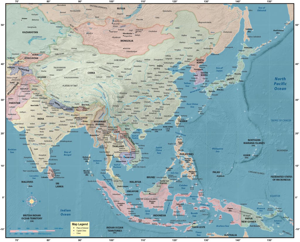
Terrain/Satellite
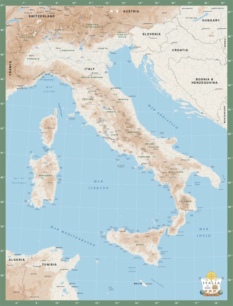
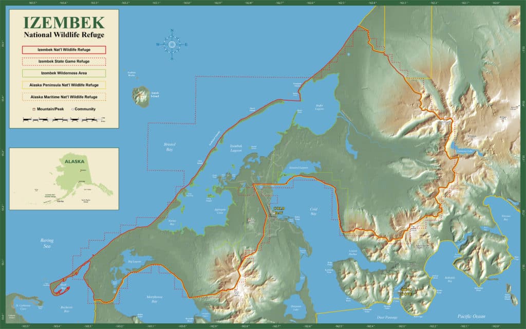
This category also includes the science-based artistic interpretation of shaded relief. (We can make all 312 feet of Florida’s elevation look like the Alps.)
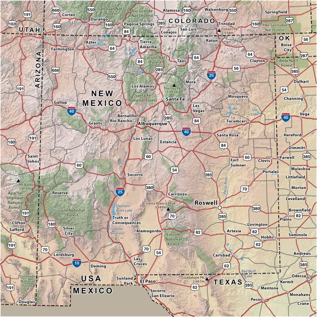
We also often use a subdued satellite background in a single tone that intuitively shouts the lay of the land, especially in mountainous areas with their winding roads. How about ocean-depth shadings to spice up your coastal map?
Terrain technologies are often used to caffeinate a geographically boring map—sorry, Nebraska.
OR
